Welcome to the ghosts of West Norfolk, a geographic mapping project displaying many haunted places in this area of the UK.
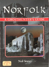
You can zoom in and out, drag the view and also click on the ghostly icons to display a brief summary about the alleged spectral behaviour associated with the location; complete descriptions of the hauntings can be found in my book (right).
This is an on-going task and I aim to include new or to update existing locations every few days; some locations are imprecise, for a number of reasons: the exact co-ordinates may be lost to history or cannot be located on modern maps - or I have fudged the data to protect the privacy of the current occupants.
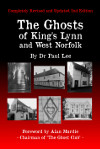
Click on the icon for
kindle and paperback details